Location : 212 Building, ICRISAT Campus Hyderabad, India
Date : 2026-03-09 10:01:00
About the course
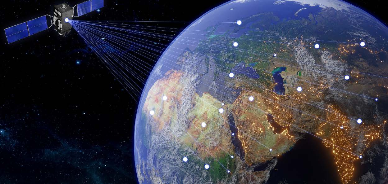
Geospatial technologies are reshaping how agriculture is monitored and managed. The availability of satellite imagery, drones, IoT sensors, mobile data and machine learning models now allows near real time assessment of crops, soils, water resources and climatic risks. These tools provide timely insights on crop acreage, crop health, drought stress, pest risk, water availability and yield variability. This information is essential for improving planning, insurance, advisories and investment decisions. Many countries still face challenges in turning these data streams into practical, field level applications. There are gaps in skills related to generating reliable crop maps, interpreting time series satellite data, using cloud-based analytics, integrating ground observations and developing decision support systems that work at scale.
Digital agriculture platforms are evolving quickly and create opportunities for early warning systems, automated monitoring and science based advisory services. When combined with geospatial intelligence, these tools reduce uncertainty, improve input use efficiency and support climate smart farming. This course introduces participants to a full range of geospatial and digital technologies used in agricultural monitoring. It covers remote sensing, GIS analysis, artificial intelligence models, advisory platforms and digital MRV frameworks. The program offers practical exposure to workflows that strengthen agricultural programs at national and sub national levels and support sustainable agricultural development.
Deadline to apply for the course: 26 January 2026
Who Should Apply
Research managers, monitoring/evaluation specialists, GIS analysts, planners in agriculture or climate programs, AI/ML practitioners entering digital agriculture, extension specialists, and policymakers responsible for scaling digital monitoring systems.
Course Topics
Introduction to digital tools and geospatial technologies for agriculture monitoring.
Ground data collection for Geospatial Analysis.
Mapping crop intensity and crop type using geospatial technology.
Crop health monitoring using time series indicators
Crop suitability analysis for crop intensification and diversification.
Crop Yield estimation using technology.
Digital platforms for advisories (climate and crop), soil health and MRV systems.
Round table discussion on scaling geospatial solutions.
Course Objective
The main objective of this training program is to introduce participants to the use of geospatial technologies and digital tools for agricultural monitoring and decision support. It also aims to enhance the accuracy of crop yield estimation through the application of simulation models, semi-physical models, and machine learning algorithms. The program builds practical skills in interpreting remote sensing data and translating these insights into actionable guidance for agricultural planning and field-level decision-making. Additionally, it helps strengthen institutional capacity to design and scale digital agriculture solutions for sustainable and climate-resilient farming.
Guidelines to Apply for the Course
Create a login to apply for the course and furnish all the requisite information. Submit the application online and download the submitted application form.
Take a printout of the submitted application form, get appropriate signatures at all the signature placeholders throughout the application form including the English proficiency certificate, medical report, candidate undertaking form and the Employer nomination form;
Scan the complete application document and submit the physical copies of the application form including the undertaking form and the employer nomination form to the Indian High commission in your country and e-mail the scanned copy of the executed application form to vishwambhar.duche@icrisat.org with a copy to babu.potta@icrisat.org
Please note that we have very limited seats for the course and the eligible applications will be shortlisted by the Ministry of External Affairs, Government of India on First Come First Serve basis. Therefore, if you are interested, we recommend that you submit your application immediately without any delay.
In case you face any technical difficulties in applying for the course, such as portal issues, login issues or any website related errors, please screenshot the errors and email to help@itecgoi.in & cc: vishwambhar.duche@icrisat.org and, babu.potta@icrisat.org
Registration link: ITEC: Indian Technical and Economic Cooperation
Approach and methodology of training: Experiential learning and field visits
Number of participants: 35
Application: The fully sponsored program is exclusive to non-Indian international participants only